.png?width=113&height=113&name=Logo%20scanner%20(1).png)

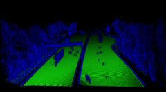
Automatically recognize the ground that is present on the area whether it is rural, urban or linear infrastructure. Our solution allows you to light your point cloud by keeping only points belonging to ground and is specially designed for Digital Terrain Model (DTM) analysis.


We provide an algorithm that is capable of processing sections individually to obtain a global view of the area.
Our solution is fully automated, reliable and fast to meet the needs of predictive and corrective maintenance.
Our software handles several point cloud formats such as LAS, LAZ, e57,... It is usable through different platforms or via our API.
.webp?hsLang=en)

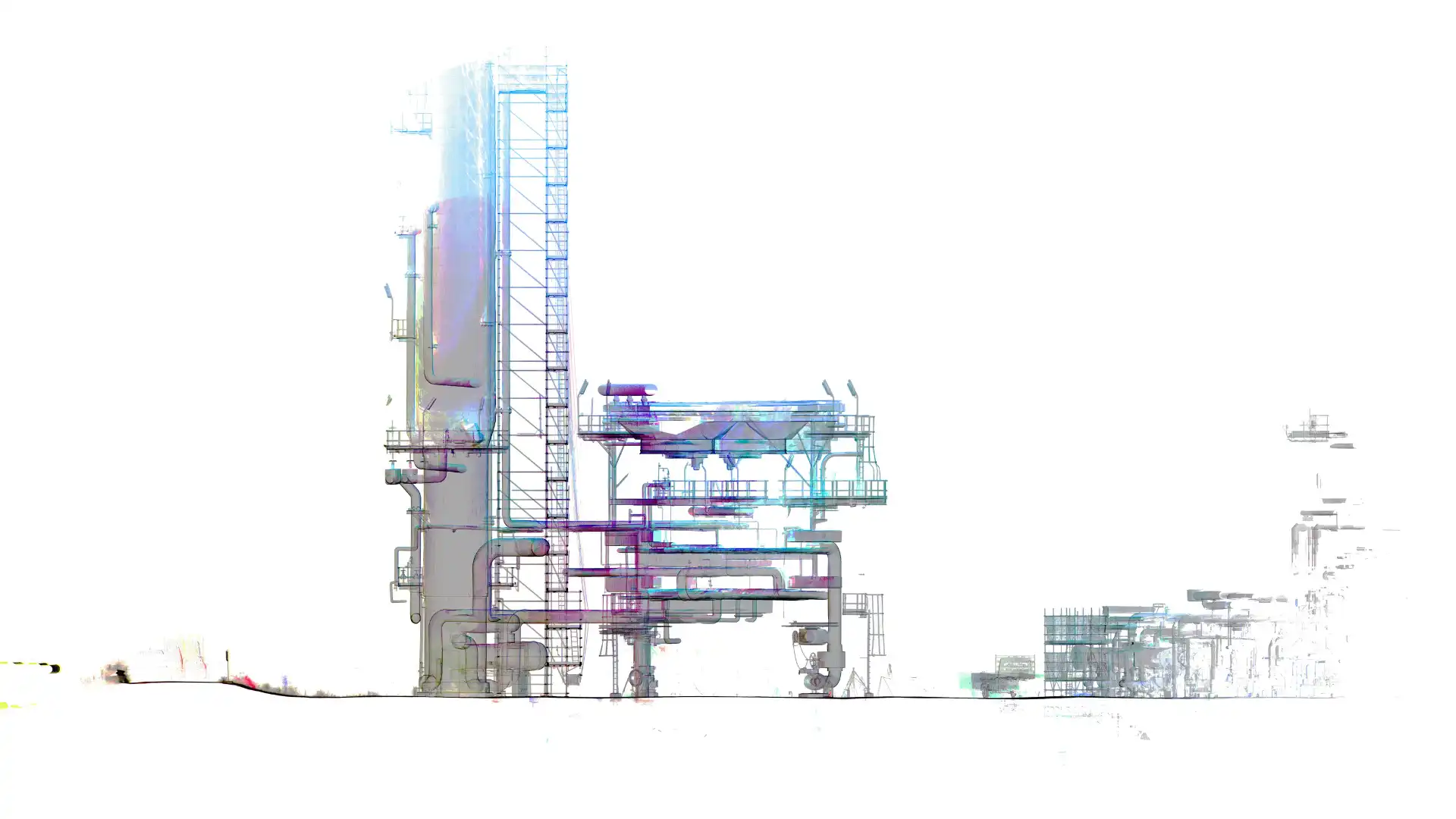
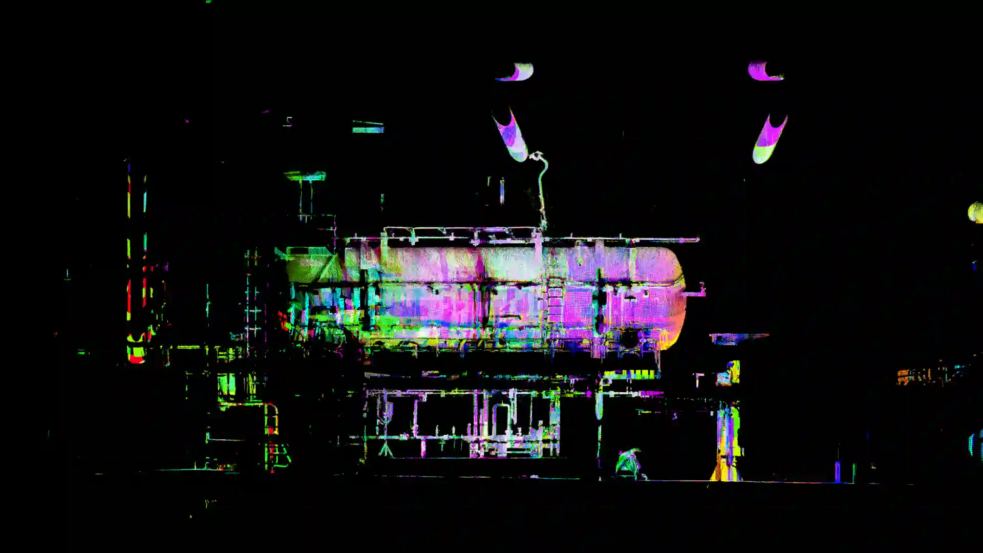
Effectively verify, thanks to automated tools, the conformity and the quality of 3D point cloud from Terrestrial Laser Scanners (TLS). A product we developed specifically for Total Energies... (learn more...)
Easily identify registration errors and the presence of noise, estimate the density of 3D point clouds, check the presence and conformity of panoramic photos, validate the completeness of information present in the files.
Avoid non-quality costs due to defects in your Terrestrial Laser Scanning data. Ensure the conformity of your 3D point cloud before using it in your GIS, BIM or Digital Twin projects.
We propose an algorithm based on business knowledge to efficiently check the conformity and the quality of 3D point cloud on all types of areas and infrastructures.


Want a demo?
 By combining the professional expertise of setec, and the technical skills of
 ![]() , we have worked on an algorithm studying railway gauges, and identifying automatically the obstacles to the circulation. Through the launch of the platform Setec Capture, all companies are encouraged to invent new services based on the automation of tasks involving visual data.
, we have worked on an algorithm studying railway gauges, and identifying automatically the obstacles to the circulation. Through the launch of the platform Setec Capture, all companies are encouraged to invent new services based on the automation of tasks involving visual data.