❓ Did you know? ❓
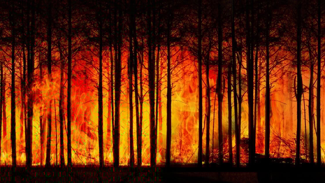
💡All around the world, fire departments are discovering how to use LiDAR technology to better manage forest fires. LiDAR data can be used to analyze fire patterns and determine high risk areas (combustible mapping). The LiDAR makes it possible, in particular, to check the safety corridors (razed paths in the forest which prevent fire from spreading in case of a fire). Since the beginning of 2022, more than 700,000 hectares of land have burned in Europe. Faced with the climate crisis, more and more disasters of this kind are to be expected. A technology as powerful as LiDAR is therefore a serious asset for anticipating such risks.
Source: