Each year, more than 15,000 hectares of biodiversity go up in smoke due to forest fires on French territories. In 20 years, more than 119 million hectares of forests have been destroyed due to fires worldwide. The climate crisis we are facing only increases this phenomenon. On the other hand, anticipating and better managing these forest fires in order to limit the damage to biodiversity is possible.
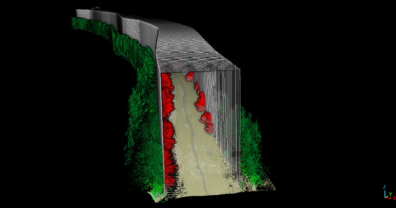
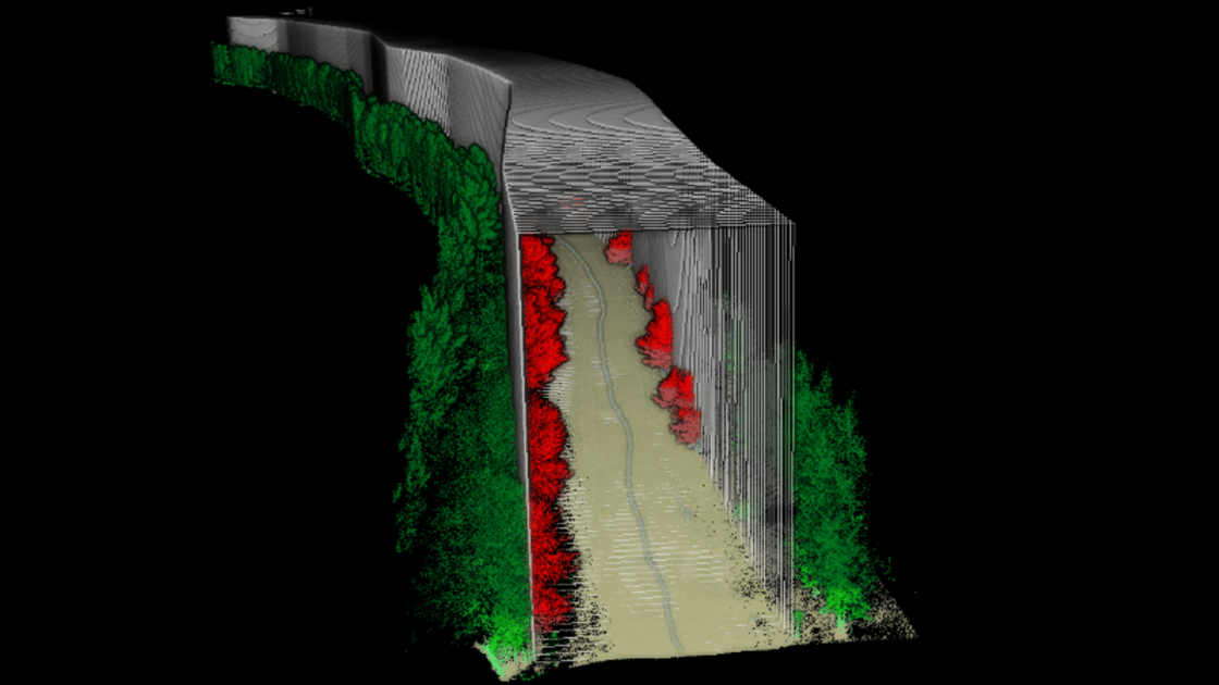
Thanks to 3D LiDAR technology combined with artificial intelligence, it is possible to check the safety distances between plots using a 3D template. The objective is to confine a possible fire to a single plot and prevent it from spreading to the surrounding areas.
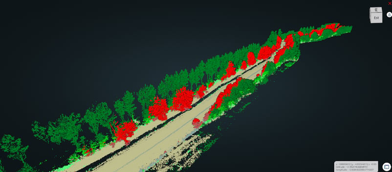
![]() , in partnership with the company Parallèle 45, responded to the call from La Défense des Forêts contre les Incendies (DFCI) in Aquitaine to better prevent the fires expected for the summer of 2023 in Gironde. The forest template study makes it possible to identify the safety zone over a given height in order to cut off the spread of fire.
, in partnership with the company Parallèle 45, responded to the call from La Défense des Forêts contre les Incendies (DFCI) in Aquitaine to better prevent the fires expected for the summer of 2023 in Gironde. The forest template study makes it possible to identify the safety zone over a given height in order to cut off the spread of fire.
Example of dangerous vegetation not respecting the safety distances in a forest road: