June 18, 2024 •Déborah

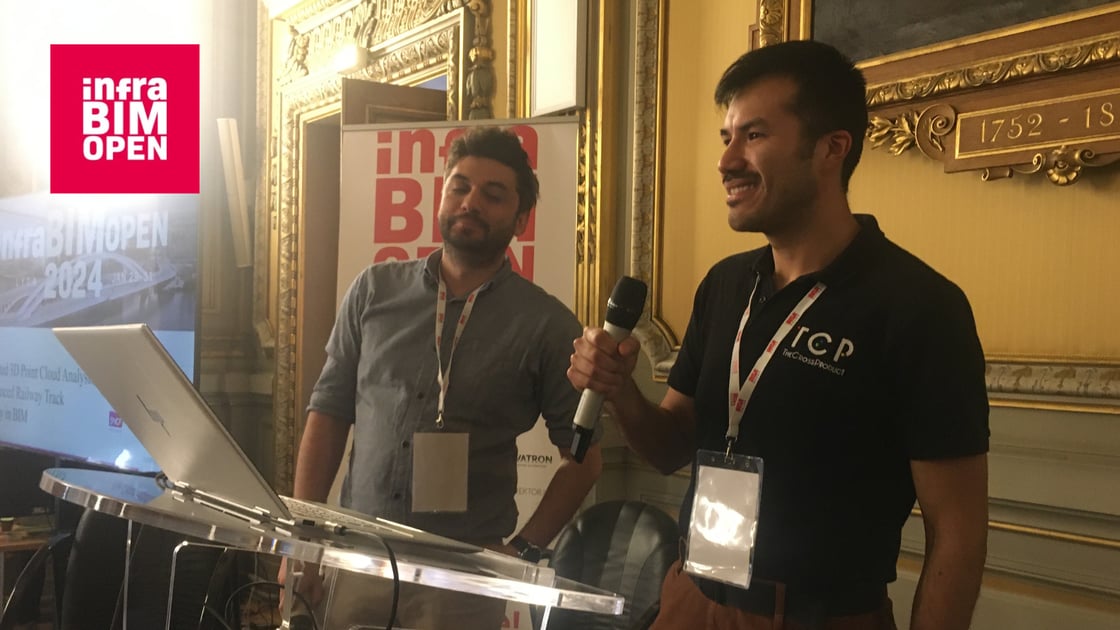
Last January, our R&D Engineer, Eric Bazan, and Evrim Kor from setec ferroviaire, presented a conference in Lyon at InfraBIM Open 2024. For those who couldn't attend this event, here is the abstract of this conference....
Abstract
SNCF Réseau, the primary railway infrastructure manager in France, is committed to developing new and innovative solutions within all the facets of railway infrastructure engineering. For years, they have been collecting 3D point clouds of their infrastructures. However, a critical missing link has been the absence of a digital tool capable of automatically extracting detailed railway track geometry, including alignment and profile.
In a collaborative effort with The Cross Product (TCP) and setec ferroviaire, SNCF Réseau is spearheading a groundbreaking pilot project. The project's primary objective is to develop cutting-edge automated algorithms capable of analyzing railway track geometry directly from 3D point clouds.
The proposed software solution automatically handles both horizontal elements such as tangents, curves, and spirals, as well as vertical elements including slopes, ramps, and curves, all while adhering to geometric constraints. This development marks a pivotal step forward in enhancing engineering quality and performance within railway infrastructure.
Once the analysis is complete, the software generates the crucial geometrical parameters, including horizontal and vertical curve definition, along with superelevation values. These valuable data can currently be exported in LandXML format (and in the near future, they will also be accessible through the IFC4.3 standard), ready to be exploited in softwares such as Civil 3D, GeoRail, RailComplete. Furthermore, this data serves as a step towards the generation of IFC files, that include design objects, providing the flexibility and compatibility of the BIM ecosystem.
The process of our algorithm is as follows:
Crucially, the automated results are rigorously compared to ground truth data to validate the approach's relevance and accuracy.
To validate the proof of concept within the pilot project, experimental trials are currently underway as a part of the High-Performance Marseille-Vintimille project, which focuses on implementing European ERTMS level 3 technology. These experiments aim to achieve precise calculations of existing railway track geometry, culminating in accurate LandXML data and relevant track models in IFC format.
The innovation proposed is compatible with standard point cloud formats such as .las or .laz, making it an invaluable tool for encouraging railway infrastructure managers to open up their data for enhanced collaboration and analysis.
As a crucial addition to the scan-to-BIM process in railway analysis, automating 3D point cloud analysis through our solution promises to enhance the exploitation, maintenance, and asset management of railway infrastructures. The export of data into the IFC format fosters openness, collaboration, and trust in the entire process.
We believe that this automation will soon be fully implemented, enabling the comprehensive reconstruction of existing infrastructure conditions into a complete Building Information Modeling (BIM) representation. This will empower infrastructure owners to efficiently initiate the creation of their digital twins while gaining insights into associated costs.
Follow-us on Linkedin!